
Flying the Hudson River corridor
Seeing New York from the air, and how to do it from Linden.
A quick note: this is an anecdotal guide based on club member experiences. It should not be used as a substitute for official sources.
New York, New York. Is there anything more magical than seeing the world’s most iconic city from the air? Seeing it from the air at sunset, of course! Or perhaps seeing it from the air at night.
Wondering how you can do this? It’s easier than you might think: the Hudson River VFR corridor lets you fly right past Manhattan without a clearance. If you’re a licensed pilot, student, aspiring to become one, or just generally interested in flying, read on.
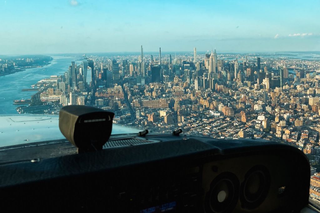
Start with the chart
At a glance, the New York Terminal Area Chart looks like three big blobs of Class Bravo airspace over Newark, LaGuardia and JFK. Look more closely, and you’ll notice that over the water, between the Verrazano-Narrows Bridge in the south and Alpine Tower in the north, there is a carve-out from the surface to 1,299 ft MSL. This is the Hudson River and East River Exclusion Special Flight Rules Area (SFRA), aka “the Exclusion.”
Check other official resources
Complement your planning with the FAA’s New York City SFRA course. Study the New York Helicopter Route Chart, which is useful even if your wings don’t rotate: you’ll likely be sharing the river (and the radio) with a lot of helicopters. The FAA’s kneeboard guide also puts the main procedures and frequencies within easy reach, but check it against current charts and NOTAMs before you fly.
Before you go
- NOTAMs, TFRs and ATIS. Check them as part of your usual planning, and check again for restrictions before departure. Presidential, VIP, sports and event TFRs are common.
- Weather. Assess visibility and cloud clearance along your planned route. Haze, wind and turbulence around buildings can make the flight more demanding than the forecast suggests.
- Passengers and photos. Brief passengers to keep quiet near reporting points and help spot traffic. Decide in advance who’s taking pictures. It isn’t the pilot.
- Traffic displays. Know how to use your aircraft’s traffic display before departure. It can help you spot traffic, but it won’t show everything. Keep your eyes outside. Both club aircraft have the Garmin GTN 650Xi.
Rehearse the radio
Whether you choose to self-announce on the CTAF or talk to ATC, all the frequencies can get very busy. Study the map thoroughly and rehearse your calls in advance to get them as short and clear as possible.
Many pilots and controllers operating this airspace do it every day, saying the same things over and over. They’ve got it down to a fine art, shorthand and all.
Listening to livestreams may also help you build a picture of what to expect:
- LiveATC.net: KEWR, KLGA, KJRB (CTAF)
- ATC.com app: EWR / LGA Class B (Surface / VFR)
Besides, what pilot doesn’t love sounding cool, calm and collected on the radio?
Two ways to fly the Hudson
- Below the Class B, in the Hudson River Exclusion. No clearance needed. You fly under your own navigation and self-announce on a common frequency.
- Through the Class B, on the Skyline Route. You get a clearance from ATC and fly above the Exclusion, at 1,300 ft MSL or higher, with ATC providing separation.
Which one to take? It’s a hotly debated topic amongst pilots. Some prefer the Exclusion because no clearance is required and the view feels a little closer. Others prefer the extra set of eyes ATC provides and being away from the traffic below.
There are of course a bunch of rules for flying in this area, both written and unspoken, which we will try to cover here.
The Hudson River Exclusion
The Hudson Exclusion is a combination of Class E and Class G airspace. Pilots flying in it self-announce on the CTAF, 123.05 at time of writing.
The Exclusion has two layers
- Transient: flying the full length from one end to the other, at 1,000 ft MSL up to, but not including, the Class B floor at 1,300 ft. This is the layer for most fixed-wing pilots passing through. Don’t climb, descend or make big heading changes.
- Local: anything else below 1,000 ft MSL, including sightseeing, circling and helicopter tours. Expect aircraft climbing, descending, turning and flying slowly.
The rules (14 CFR 93.351 and 93.352)
- Keep your indicated airspeed at 140 knots or less.
- Turn on anti-collision and position lights. Landing lights are recommended.
- Keep right: fly along the west (New Jersey) shoreline southbound and the east (Manhattan) shoreline northbound.
- Carry a current New York TAC (or the New York Helicopter Route Chart) and know what’s on it.
- Self-announce at each charted mandatory reporting point, giving aircraft type, position, direction and altitude, on the frequency shown on the TAC.
Reporting points
From south to north:
| Reporting point | Say |
|---|---|
| Verrazano-Narrows Bridge | “VZ” |
| Statue of Liberty | “Statue of Liberty,” “Statue” or “the Lady” |
| The clock on the west bank (Colgate Clock, Jersey City) | “Clock” |
| Intrepid Sea, Air & Space Museum | “Intrepid” |
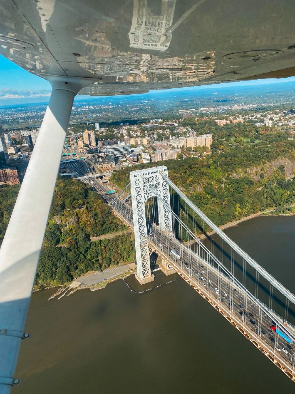
| George Washington Bridge | “GWB” |
| Alpine Tower | “Alpine Tower” |
An example call: “Skyhawk, VZ, one thousand one hundred, northbound.”
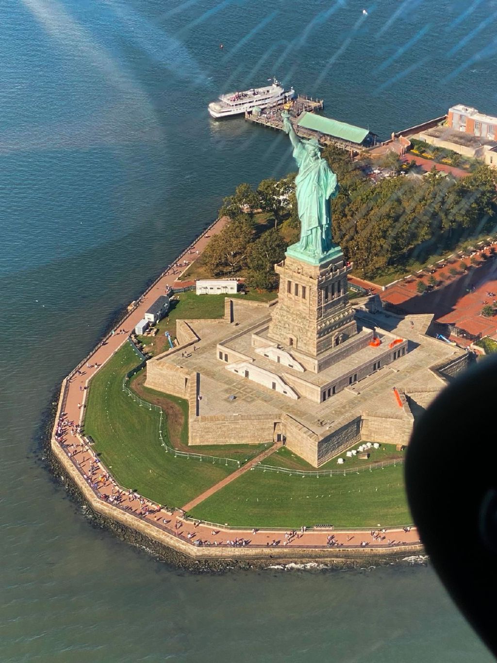
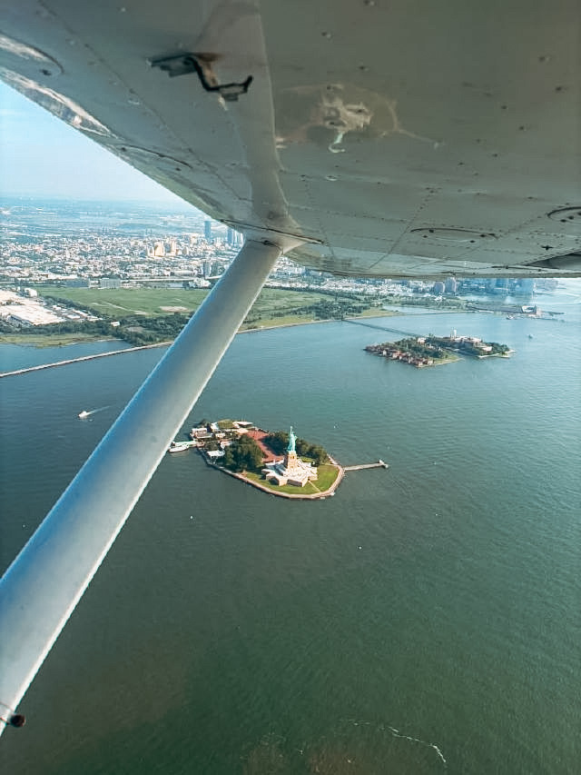
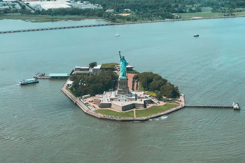
Circling the Statue of Liberty
- Plan your orbit as a local operation, below the transient traffic. Work out where you’ll leave the transient flow and descend before reaching the Statue.
- Circle counterclockwise, at the highest practical altitude below 1,000 ft MSL, as recommended in the FAA’s kneeboard guide.
- Expect plenty of company. The FAA warns of tour helicopters flying irregular patterns near the Statue at about 500 ft. Keep your eyes peeled, listen carefully and announce your intentions: “Skyhawk, Statue, nine hundred, orbiting counterclockwise.”
- The Newark Class B boundary lies just to the west. Take care not to drift over it.
The East River Exclusion
The East River uses a different CTAF (123.075 at time of writing) and has tighter rules. The restrictions followed a fatal 2006 accident in which an airplane struck a building while attempting to reverse course.
Between the southwestern tip of Governors Island and the northern tip of Roosevelt Island, airplanes are prohibited unless they’re seaplanes taking off or landing on the river, or have ATC authorization. Pilots seeking authorization must contact LaGuardia Tower before reaching Governors Island. See 14 CFR 93.353.
Reports of approval for sightseeing flights are rare. Plan on requesting a route through the Bravo rather than relying on access to the Exclusion.
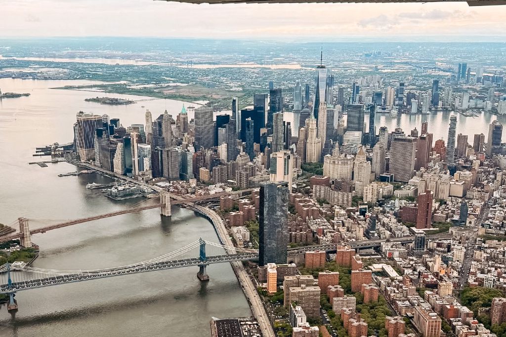
Flying the Hudson in the Bravo (aka the Skyline Route)
- What it is. The FAA’s name for flying the Hudson in the Class B, at 1,300 ft MSL or higher, with an ATC clearance. You’re under ATC control and separated from other traffic. Expect to be given an altitude and route, and to fly exactly that.
- Why fly it. Less traffic to watch for, a higher and safer altitude over the city if the engine quits, and arguably a better view.
- Which frequency to call. Watch out! It’s not the usual Tower frequency. Both Newark and LaGuardia have a separate Tower controller who works the surrounding Class B airspace in a ~6 mile radius from the airport, sometimes called the helicopter position. From the south, you’d typically contact Newark on 127.85. Coming from the north, you’d usually talk to LaGuardia on 126.05. During quiet periods, it may be combined with the primary Tower frequency. If ATC are short-staffed, this position is often the first to go, so check NOTAMs and ATIS for any changes.
- The catch. ATC grants it only when workload allows, so have a plan for flying the Exclusion instead.
- How to ask for it. Give your callsign and position, and request “Hudson northbound” (or southbound) or “the Skyline.”
- Remember “Class B clearance.” You aren’t in until you hear “cleared into the Bravo.” Until then, remain outside.
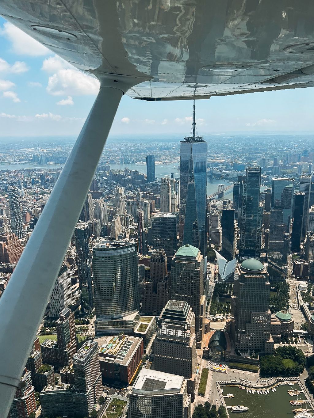
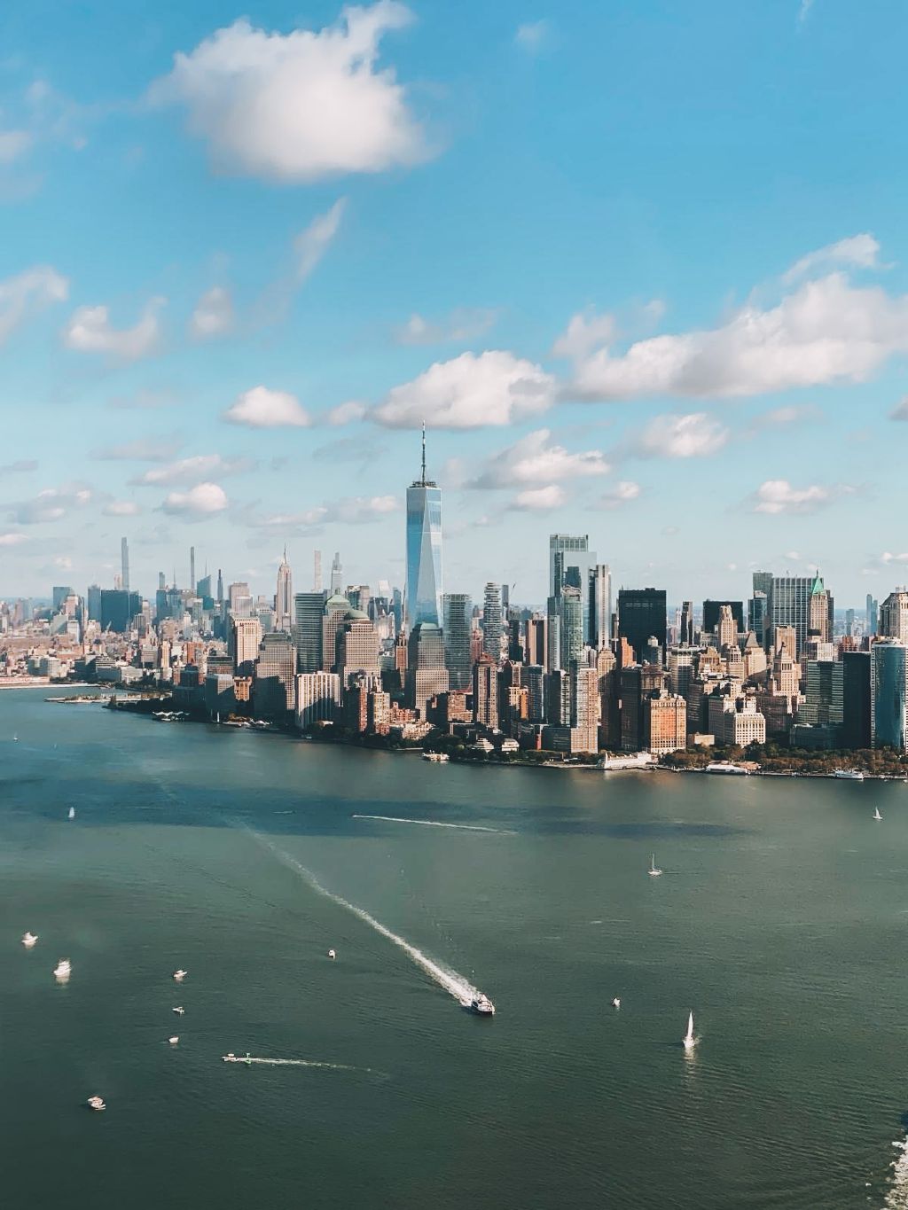
Can I fly over Central Park?
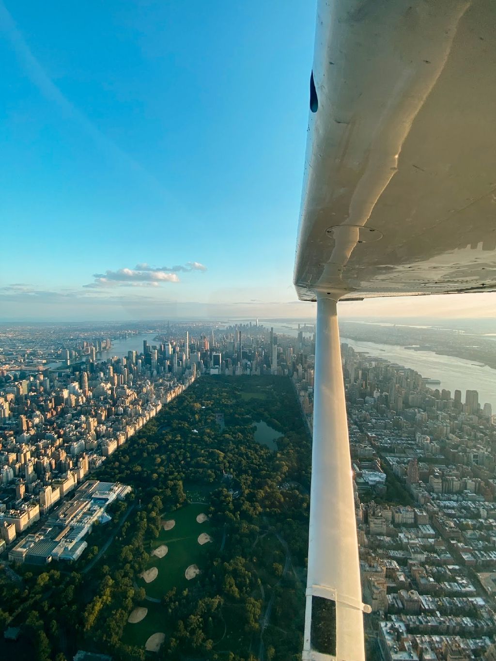
Yes, if LaGuardia Tower can fit you in, as their Class B sits right over it. From the Hudson, ask for a Central Park transition to the East River. You can make the request while already in the Bravo or from the Exclusion (a useful second chance if you couldn’t get a Bravo clearance initially). Remember: get an explicit Class B clearance before climbing into it.
If you want to fly it in reverse, north up the East River and then west across the Park to the Hudson, tell ATC what you’d like to do early so they can coordinate the route. Don’t assume a clearance up the East River will lead to a clearance across the Park.
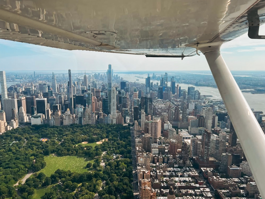
Congested-area minimum safe altitudes (§ 91.119): a quick refresher
You might spend most of the flight over water, but what if ATC routes you over a congested area like Staten Island or Manhattan? Before accepting the route, check that the assigned altitude gives you at least 1,000 ft of clearance above the highest obstacle within 2,000 ft horizontally of your aircraft.
The pilot in command is responsible for meeting that minimum, not ATC. If you can’t comply at the assigned altitude, tell ATC “unable” and request a higher altitude or a different route.
Flying it from Linden
A typical round trip takes about 1 Hobbs hour. See what that costs in a club aircraft in Flying club vs. renting near NYC.
- Sunset and night flights are the perfect time to take your friends, family and loved ones! Many of our members have flown the Hudson at each phase of the day, to compare and contrast the experience. Each has its own pros and cons.
- Beware the Bravo. Linden sits just under the Newark Bravo, with an 800 ft lower limit. This leaves little room for an unplanned climb. Make sure your altimeter is set correctly and keep a watchful eye on it.
- Caution: choppers. Linden is a base for many helicopters. Be mindful of their presence and flying characteristics.
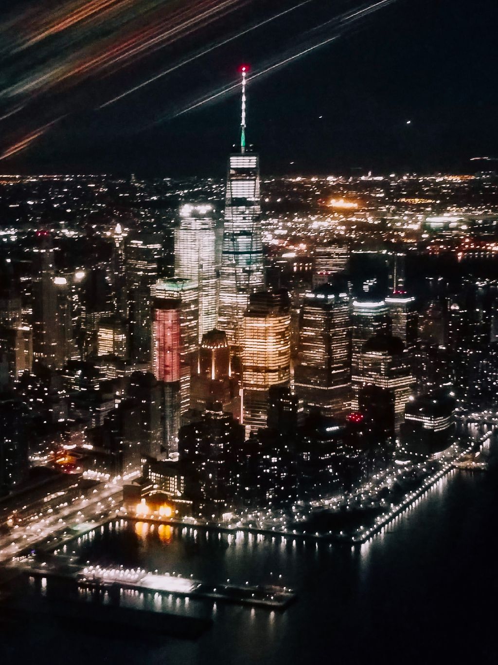

Leaving Linden
An example call on departure if requesting the Bravo: “Newark Tower, Skyhawk 123 out of Linden, requesting the Skyline, information [ATIS code].”
An example response: “Skyhawk 123, Newark Tower, squawk 4321.” Once you’ve read back and entered the code, you may hear something along the lines of: “Skyhawk 123 identified, [position], cleared into the Class Bravo via the VZ, Hudson northbound, VFR 1,500.” Again: Bravo clearance!
Head toward the VZ. If you’re flying the Exclusion, this will be your entry point. In our members’ experience, most Bravo clearances to and from Linden are routed via the VZ as well. Be sure to adjust your course to the south to avoid clipping the Bravo shelf if you don’t have a clearance.
A word about Staten Island shortcuts
ATC may on occasion offer a shortcut to or from Linden over Staten Island, often using the Bayonne Bridge as a landmark. Our members have also been instructed to descend to or maintain 800 ft several miles from Linden, to ensure separation from heavy jet traffic departing and arriving at Newark.
This is where the minimum-altitude discussion comes in. An assigned altitude may leave you too low over a congested area, and being on your way to or from Linden doesn’t automatically make that altitude necessary for takeoff or landing.
If you’re uncomfortable with your routing, request higher, ask for a reroute, or fly a little further south, underneath the next Bravo ring, which will allow you to cross the island at a higher altitude.
Northbound on the Hudson
Once you reach the VZ, follow the Exclusion procedures or your ATC clearance, and put your passengers’ eyes to work spotting traffic.
For Bravo flights, Newark typically hands you to LaGuardia near the southern tip of Manhattan. Check in with your callsign and altitude. ATC may ask how far north you want to go, so have your answer ready.
Two routes that are popular with members:
- A reversal on the Hudson near the George Washington Bridge (GWB).
- A crossing of Central Park followed by a southbound East River leg (requires a Bravo clearance).
If you’re flying the Exclusion, remember that a reversal within the corridor is a local operation, not an end-to-end transient flight. Plan it accordingly rather than turning across the transient flow.
Southbound, and perhaps a Statue orbit
On a Bravo return, expect coordination back to Newark. If ATC can’t accommodate your requested route, agree an alternative with the controller. A transition into the Hudson Exclusion needs planning; don’t assume you can simply descend into whichever river corridor lies below.
Circling the Statue in the Exclusion. The southbound leg is a natural time to include it, since the Statue sits near the western shoreline. Review the local-operation and orbit procedures before reaching this busy spot.
Circling the Statue in the Bravo. You can ask: “Tower, Skyhawk 123, requesting an orbit of the Statue, then back to Linden.” Members have received approval at 1,500 ft, followed by routing to the VZ, but fly the clearance you receive.
It might seem intuitive to get as close as possible, but a higher orbit in the Bravo has some advantages:
- In a high-wing aircraft like the C172, the wing is less likely to block the Statue as you bank around it.
- You aren’t restricted to orbiting counterclockwise, which can give right-side passengers a clearer view.
- ATC continues providing separation and traffic advisories.
Back to Linden
If returning via the VZ, check the surrounding airspace before turning toward Linden. Passing the bridge doesn’t put every Bravo shelf behind you. If you’re still under ATC control, follow the assigned route; you may instead receive a heading across Staten Island.
The Arthur Kill power station stack, on Staten Island’s western shore, is a useful landmark on the way home. So are the oil storage tanks, I‑95, the Rahway River and the solar farm near Linden.
The airport itself can be hard to spot, especially from lower altitudes. Before tackling the trip on your own, consider a familiarization flight with someone who knows the area, especially if you plan to return at night.
A member’s story

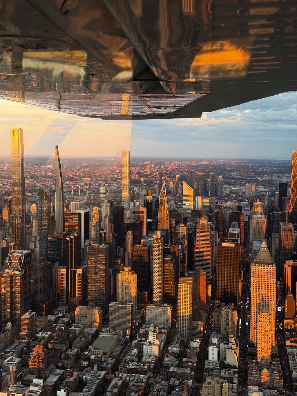
I first flew the Hudson four years ago, with an instructor. It was awesome. A lot to see, and a lot to learn.
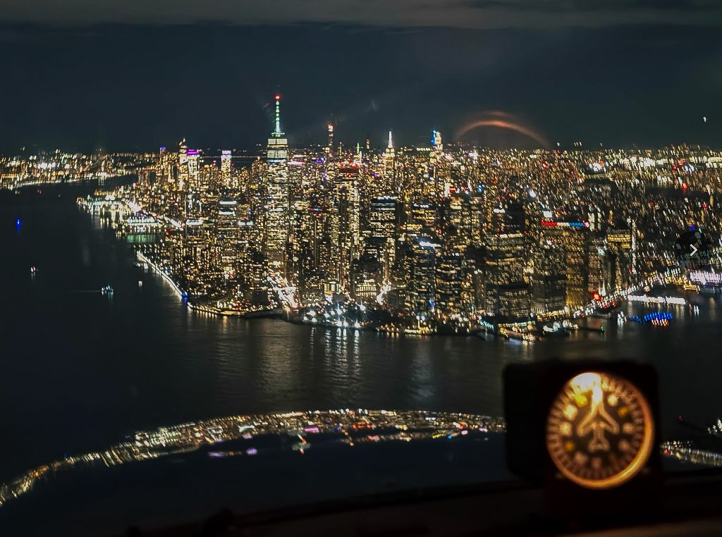
Since then I’ve flown it countless times: daytime, dawn, dusk, night. I like that you can see Central Park during the day, but seeing all the city lights at night is also pretty special. If I could only pick one, I’d (very narrowly) choose sunset. You get a taste of both if you time it just right.
It’s the perfect flight to take friends or family visiting NYC from out of town. Linden is a pretty easy airport to get to from Manhattan using public transport, and the flight itself is also quite short from there, usually just under an hour round trip (Hobbs time, but a nice perk of being in the club is that flights are billed on Tach time!).
Flying is always a privilege, and this special bit of airspace feels like another privilege on top of that. Hats off to all the local pilots, controllers and other personnel who keep it ticking over smoothly.